El Niño could be the strongest since 1950 and will peak in December, UN weather agency warns
The World Meteorological Organization expects wetter conditions across the Greater Horn of Africa and says the event is almost certain to last until February.

Nairobi — The El Niño now under way in the Pacific is strengthening rapidly and could become the most powerful since records began in 1950, the World Meteorological Organization has warned.
The agency forecasts that sea surface temperatures in the central Pacific region used to track El Niño will be about 3.7 degrees Celsius above average between October and December, Capital FM reports. The previous record, set between November 2015 and January 2016, was 2.6 degrees.
The warming has been quick. The same measure stood at 1.6 degrees above normal in June and 2.5 degrees in August.
What it means for Africa
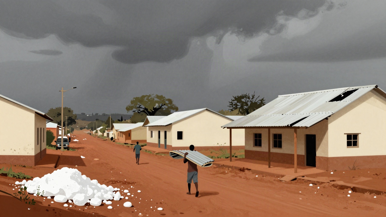
The WMO expects wetter than normal conditions in the Greater Horn of Africa, which includes Kenya, Ethiopia, Somalia and their neighbours. A second climate pattern, the Indian Ocean Dipole, is forecast to peak this month and tends to add to East African rainfall.
In past strong El Niño years the region's short rains have brought flooding, landslides and outbreaks of water-borne disease. Southern Africa usually experiences the opposite effect, with drought.
The WMO's secretary-general, Celeste Saulo, said El Niño is firmly established. The agency puts the likelihood that it continues until February 2027 at close to 100 per cent, with the peak expected in December.
Elsewhere, drier conditions are forecast for the Indian subcontinent, the Caribbean and parts of Central and South America.
This report is based on reporting by Capital FM, via AllAfrica.