On the Wild Coast, villagers map the development they actually want
Amadiba communities in Mpondoland recorded farms, forests and sacred places to show their land is thriving, not poor.
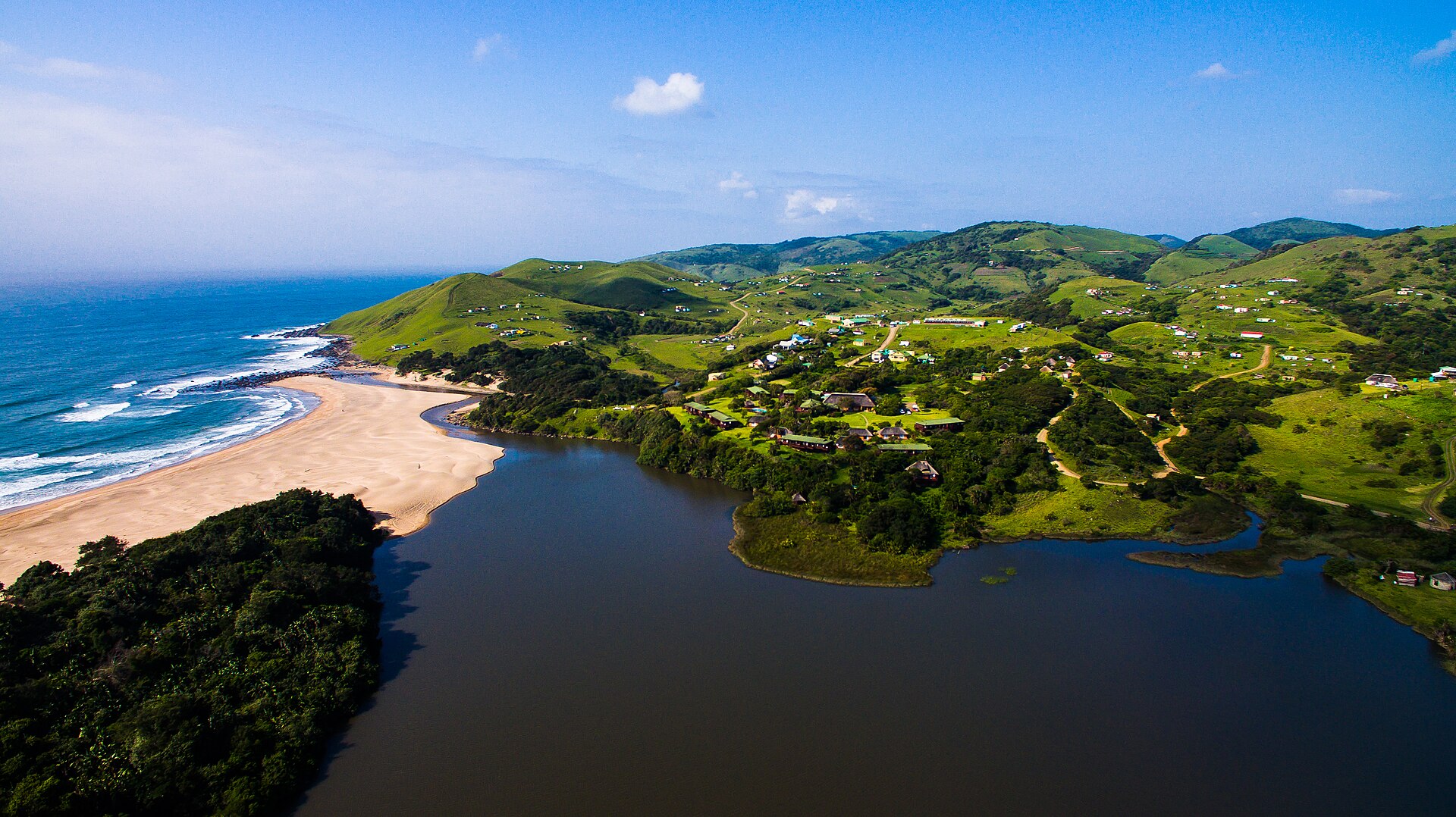
Xolobeni — Mpondoland, on South Africa's Eastern Cape coast, is known for red sand dunes and coastal forests. The Amadiba people have farmed, herded and fished here sustainably for centuries. Official plans often describe the area as poor and in need of mining jobs. The communities have drawn their own maps to tell a different story.
Maps as spears
Geographers working with the Amadiba Crisis Committee, formed in 2007 to oppose titanium mining on ancestral land, set up a counter-mapping project called Maps Are Now Our Spears. About 100 elders, adults and young people from six coastal villages shared stories about life on the land and decided together what to protect. The team then visited places of natural beauty, historical and spiritual importance, farmland and grazing land, and recorded them with GPS.
The maps show a thriving local economy: collective decisions on land use, community-run ecotourism, and food grown by caring for the soil, protecting biodiversity and keeping indigenous seeds.
Not against development
The community won a legal victory in August 2026, when South Africa's highest court ruled that offshore oil and gas exploration had to stop because people had not been properly consulted. It is also challenging a new 410km highway through its villages. Instead of simply opposing it, the committee commissioned engineers to design an alternative inland route that would be shorter, cheaper and avoid homes and sensitive coast, and sent it to Parliament.
The researchers say the message is clear: the Amadiba want development that supports their way of life rather than destroys it.
Source: The Conversation, 25 October 2026.