World's mapping standards body meets in Africa for first time
The Open Geospatial Consortium opens four days of meetings in Cape Town today. Its standards sit behind the digital maps on every phone.
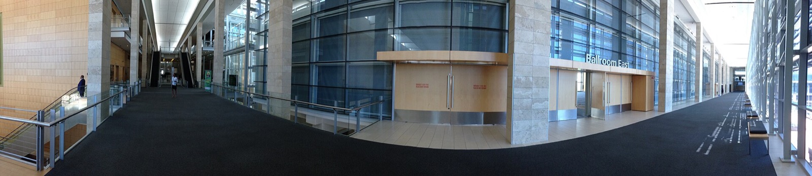
Cape Town — The organisation that sets the technical standards for digital maps and location data begins a four-day meeting in Cape Town on Monday, the first it has held in Africa.
The Open Geospatial Consortium's 136th member meeting runs from 12 to 15 October. South Africa's cabinet says it brings together government officials, national mapping agencies, researchers, technology companies and developers from the continent and beyond.
Why it matters
The consortium's standards are what allow one system's map data to be read by another. They sit behind navigation apps, weather services, land registries and disaster response.
For African governments the stakes are practical. Shared standards decide whether a country's land records, census maps and satellite images can be combined, and whether neighbours can share data across a border.
The cabinet said hosting the meeting would strengthen South Africa's standing in the field and encourage the adoption of international standards across the continent.
Also on the cabinet's list
In the same statement, the cabinet approved a draft law to regulate South Africa's space industry and released it for public comment.
Source: Statement on the Cabinet meeting of 23 September 2026, South African Government, 1 October 2026.